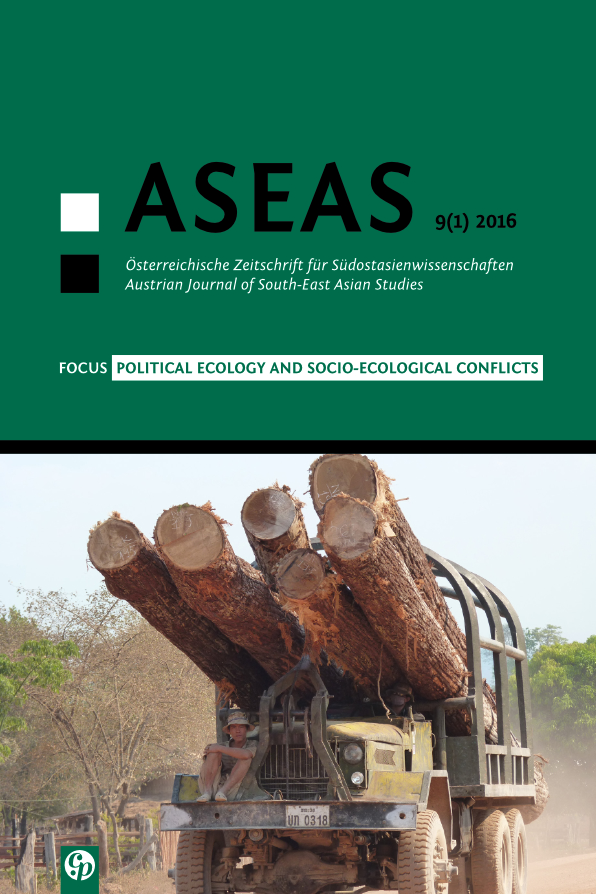
Gaining Recognition Through Participatory Mapping? The Role of Adat Land in the Implementation of the Merauke Integrated Food and Energy Estate in Papua, Indonesiatudy: Implementation of Merauke Integrated Food and Energy Estate, Papua, Indonesia
DOI:
https://doi.org/10.14764/10.ASEAS-2016.1-6Keywords:
Adat, Land Grabbing, MIFEE, Papua, Participatory MappingAbstract
Participatory mapping has recently become an instrument used by NGOs to advocate for adat (customary) land in Indonesia. Maps produced from participatory mapping are expected to support legal recognition through land formalization or titling. In order to stop land grabbing through the Merauke Integrated Food and Energy Estate (MIFEE) project, this strategy has also been applied in Merauke district, Papua. However, the pitfalls of communal participatory mapping have brought negative impacts to adat communities. This paper analyzes the land grabbing and mapping processes in three villages in the MIFEE area to show the unexpected consequences of participatory mapping. These mapping processes have caused fragmentation and conflict among adat communities. Furthermore, the legal recognition of communal adat land ownership is facilitating the buy-out of adat land by companies and/or the state.
Downloads
Published
Issue
Section
License
Copyright (c) 2016 SEAS – the Society of South-East Asian Studies

This work is licensed under a Creative Commons Attribution-NonCommercial-NoDerivatives 3.0 Unported License.
For all articles published in ASEAS before December 2014 and after July 2022, copyright is retained by the authors. For articles published between January 2015 and June 2022, the Society for South-East Asian Studies (SEAS) is the copyright holder. Articles published in ASEAS before December 2019 are licensed under the following Creative Commons License: Attribution-NonCommercial-NoDerivs 3.0 Unported. Articles published after that date are licensed under the following Creative Commons License: Attribution-NonCommercial-NoDerivs 4.0 International. In both cases, this means that everybody is free to share (to copy, to distribute, and to transmit the work) under the following conditions:
-
Attribution — You must give appropriate credit, provide a link to the license, and indicate if changes were made. You may do so in any reasonable manner, but not in any way that suggests the licensor endorses you or your use.
-
NonCommercial — You may not use the material for commercial purposes.
-
NoDerivatives — If you remix, transform, or build upon the material, you may not distribute the modified material.


